


Col des Roches

Mangold
User
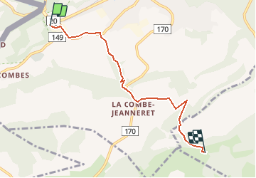

Length
5.1 km

Max alt
1292 m

Uphill gradient
390 m
Km-Effort
9.1 km

Min alt
912 m

Downhill gradient
22 m
Boucle
No
Creation date :
2014-12-10 00:00:00.0
Updated on :
2014-12-10 00:00:00.0
--
Difficulty : Unknown

FREE GPS app for hiking
 SityTrail
IGN / Geographical institutes
SityTrail Plus
The world is yours!
About
Trail Other activity of 5.1 km to be discovered at Neuchâtel, Unknown, Le Locle. This trail is proposed by Mangold.
Positioning
Country:
Switzerland
Region :
Neuchâtel
Department/Province :
Unknown
Municipality :
Le Locle
Location:
Unknown
Start:(Dec)
Start:(UTM)
326949 ; 5213096 (32T) N.
Comments